
Ready for a road trip that crosses a state line 19 times and traverses nine counties in four hours? Crosses the headwaters of five rivers and the main channel of a sixth? Begins at a museum and ends at four stone markers from colonial surveys?
Starting at the Chesapeake & Delaware Canal museum in Chesapeake City MD, the route is about 90 miles long — south, southeast, and southwest in Maryland and Delaware. It crisscrosses the dividing line surveyed in the 1760s by Charles Mason and Jeremiah Dixon to settle the contradictory land claims of the Penn and Calvert families. Your trip will end at Mason and Dixon’s 1764 Crown Stone near Mardela Springs.
From Maryland’s Cecil County, you’ll cross into Delaware’s New Castle County, then into Maryland’s Kent, then Delaware’s Kent, then Maryland’s Queen Anne’s and Caroline, Delaware’s Sussex, and finish up in Maryland’s Dorchester and Wicomico.

Delorme Atlas & Gazeteer 
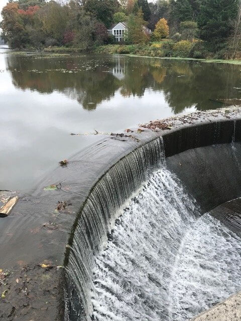
Dam at White Swan Lake
A DeLorme book of maps for Maryland and Delaware is essential! You really should have one in your car, anyway, and here’s a good reason to shell out $24.95. Advertised as “detailed topographical maps,” the book doesn’t disappoint; in addition to naming every road—dirt roads included—it locates and identifies bodies of water (small to large), railroads and power lines, public lands, campgrounds and boat ramps, i.e., every geographic and topographic detail.
Using your new map book, you’ll know when you’re crossing the headwaters of the Bohemia River (Great and Little Bohemia creeks), the Sassafras River, the Chester (Cypress Branch), the Choptank (Mud Millpond), and Marshyhope Creek. You won’t need a map to recognize the high bridge over the Nanticoke at Sharptown.

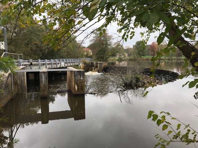
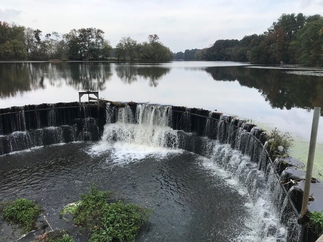
Dam at Mud Millpond Dam at Smithville Lake
From the C&D Museum entrance, drive east on Bethel Road until you reach Old Telegraph Road, where you turn right to begin your drive south.
Plot your route by following this string of small towns, hamlets, and crossroads on both sides of the state line: Warwick; Coldwell Corners; Golts; McKays Corner; Holletts Corner; Pearson Grove; Templeville; Marydel; Choptank Mills (Mud Millpond); Sandtown; Lords Corner; Whiteleysburg; Union Corners; Burrsville; Hickman; Bloomery; Oak Grove; Reliance; Galestown; and Sharptown (Nanticoke bridge).
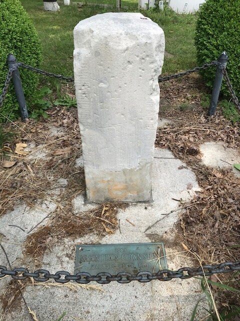
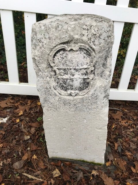
Look for four dams at White Swan Lake, Mud Millpond, Smithville Lake, and Galestown Lake. In Marydel, find its Mason-Dixon Crown Stone. On Oak Grove Road just north of Oak Grove, another Mason-Dixon stone has a historic marker and is protected by a fence put up by a local Eagle Scout.
Marydel Crown Stone from Mason-Dixon Survey Oak Grove Crown Stone
Overall, look for miles and miles of woods and open fields for corn and soybeans, giant sheds for raising chickens, a few lovely horse farms, and myriad crossroads settlements and small towns.
Our route had us crossing the state border 19 times; it also took us on five stretches of road that run exactly along the border itself. Several towns seem to straddle the line.
The trip ends at Mason and Dixon’s “trans-peninsular line midpoint marker,” where Maryland and Delaware share a corner. Sitting one-quarter in the “First State” and three-quarters in the “Old Line State,” there’s a roofed-and-fenced structure that protects the Crown Stone, plus three other stones marking prior surveys.
The plaque on the structure reads:
“In Pre-Revolutionary Colonial America, these monuments marked the South West corner of the THREE LOWER COUNTIES of the Delaware, at the time a part of the Pennsylvania Colony. Originally determined by local surveyors (two small stones) circa 1750. Verified by Charles Mason and Jeremiah Dixon (Large Marker) circa 1764.”
The fourth stone remains unexplained, a mystery for another day.
Cover photo: C&D Canal Museum. All photos by Gren Whitman.